





Ensuring that persons with disabilities can access public services and social protection often starts with a fundamental challenge: obtaining accurate, reliable data. In Bontang, Indonesia, the city government addressed this challenge by developing a geospatial disability database and service system. The system helps identify residents’ needs and connect them with appropriate support more effectively.
Located in East Kalimantan, Bontang is home to more than 180,000 people and has a strong industrial economy. Yet, like many cities, it faced a significant challenge in obtaining accurate and up-to-date data on persons with disabilities. Existing records were incomplete, maintained in static tables, and lacked precise location information. As a result, the city found it difficult to verify residents’ needs, plan and target services, and ensure that eligible individuals could access social assistance and other forms of support.
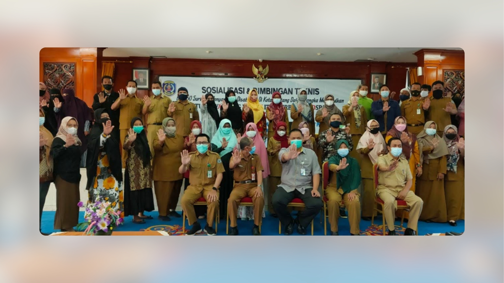
To address this gap, Bontang introduced a digital, geospatial data collection system that uses smartphones and WebGIS technology. Trained community volunteers collected and verified information about persons with disabilities, including names and addresses, precise locations, types of disability, living conditions, and service needs. The data was then uploaded in real time to a WebGIS dashboard, enabling government agencies and other stakeholders to monitor the information and use it to better plan and deliver services.
The initiative has strengthened both transparency and service delivery. With more accurate and up-to-date data, the city can issue disability cards linked to residents’ records in the database and connect eligible residents with social welfare programmes more efficiently. The system also enables better planning, targeting, and coordination across government agencies.
The initiative was developed through collaboration among city departments, social welfare institutions, disability organisations, community groups, and private-sector partners. By 2023, it had directly benefited 940 persons with disabilities across Bontang. Bontang’s experience demonstrates how digital and geospatial tools can help cities strengthen inclusive governance, improve service delivery, and ensure that persons with disabilities are identified, reached, and supported—helping to ensure that no one is left behind.